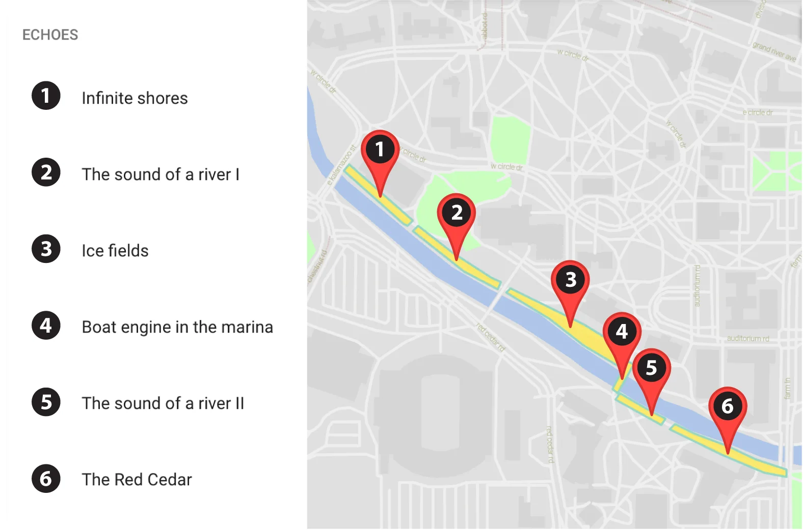
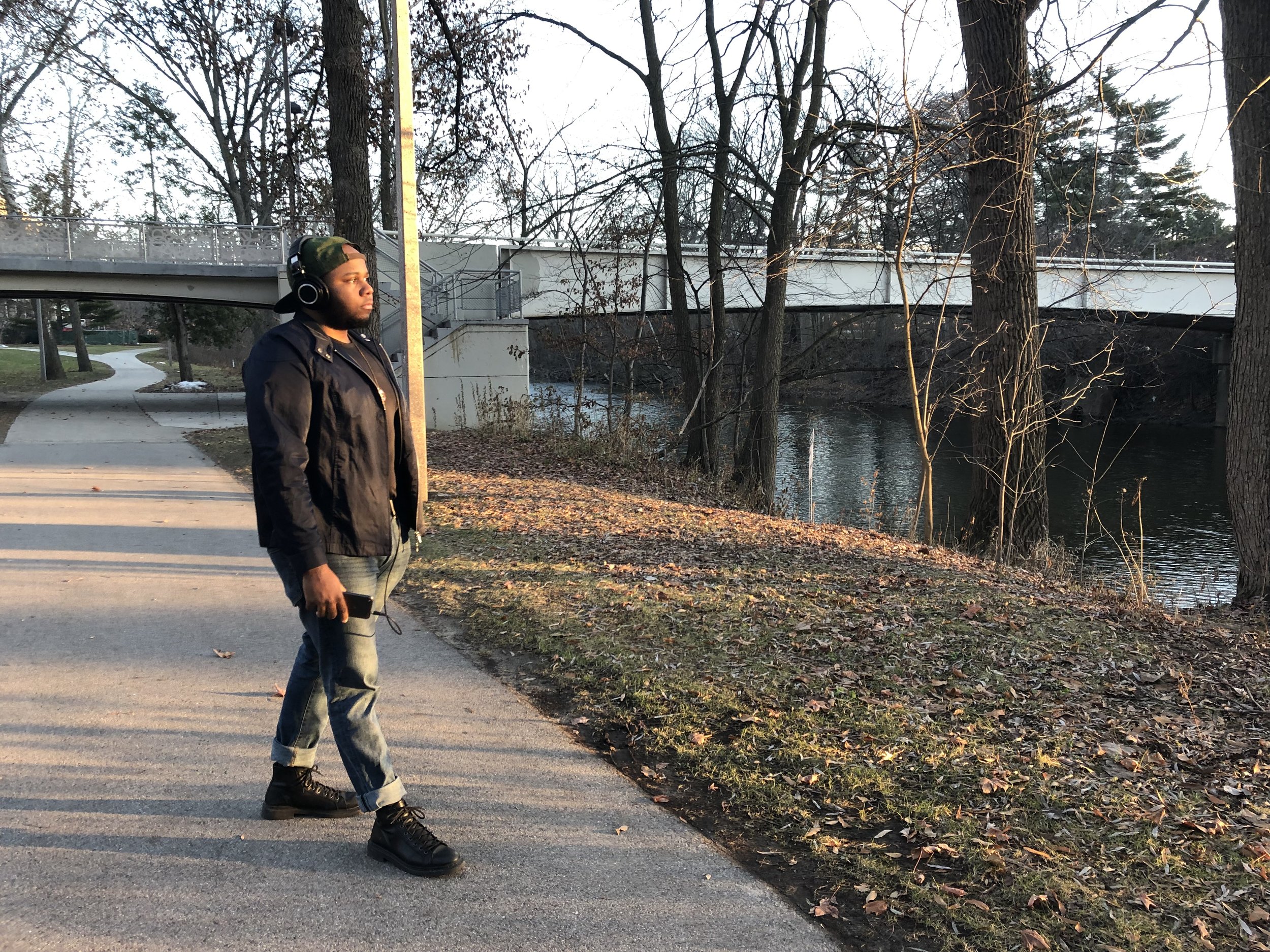
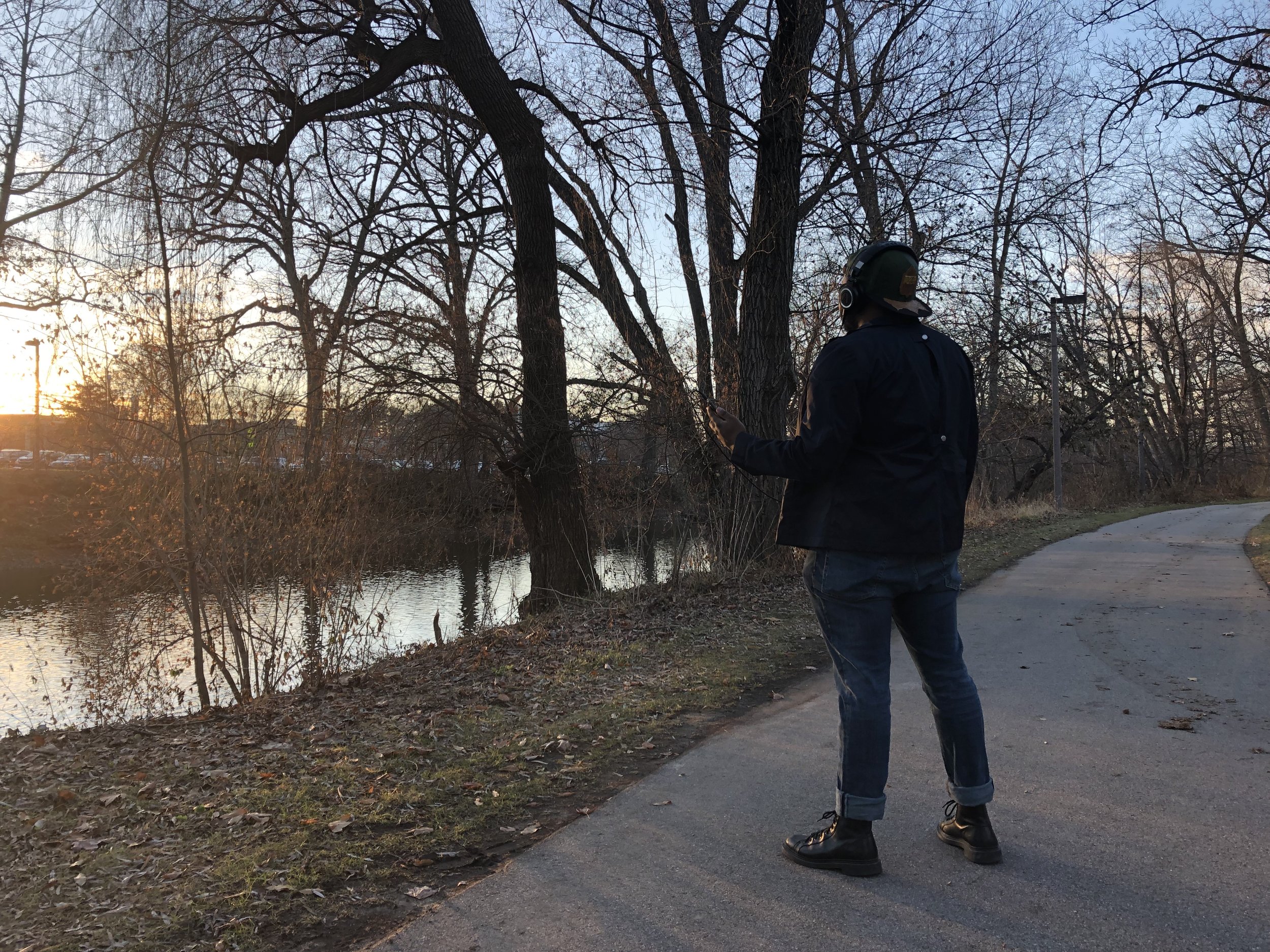
The Red Cedar River Walk draws upon art, science and technology to foster a deeper connection between people and the natural environment through sound. A combination of field recordings of river systems and lakes in the Great Lakes Basin, interviews and electro-acoustic compositions are assigned GPS coordinates along each side of the Red Cedar River, from Beal Street to Bogue Street, using the Echoes.xyz app. After downloading the app, people can walk along the river and listen as they pass each GPS coordinate. The app is free for both iPhone and Android users.
We cannot remove ourselves from the environments that surround us. By encouraging members of the MSU community to open their ears to the sound of water across the globe, the River Walks attempts to remind people of the significance of our most previous natural resource and to offer a new perspective on the importance of listening to the world around us.